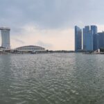
This is the second post of my photo blog on the bridge of Singapore. In this post, we’re starting at the Ord bridge and working our way upriver. The Ord Bridge is located near Clarke Quay and the Singapore river continues to meander through the city. The river itself ends near Prince Charles Crescent and transforms into the Alexandra Canal. The canal is open to the air as far as Tanglin Road, after which it becomes lidded.
There are eleven bridge on the upper reach, though many of them are much the same. As we travel farther from the older, historic district, the newer the bridges become.
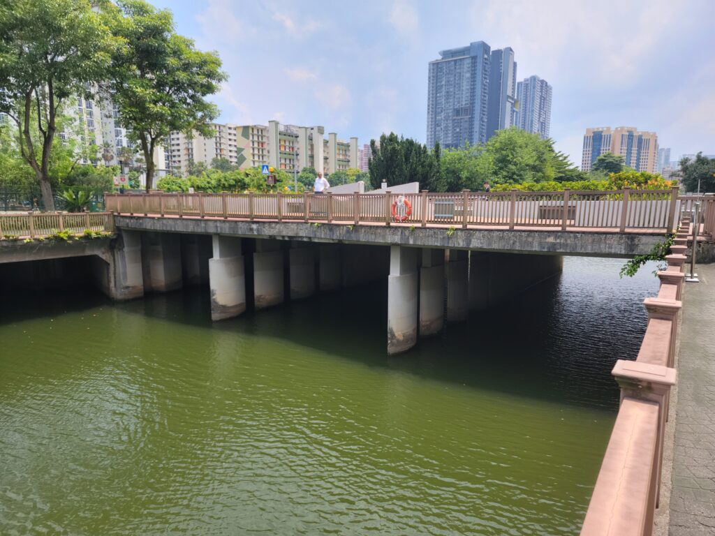
The Clemenceau Bridge
A three span haunched post-tensioned concrete girder bridge which carries Clemenceau Avenue. A common choice for the river as the ends spans allow for underpassage by pedestrians and the main span allows clearance for rivr boats to pass underneath.
Named after Georges Clemenceau, the French Prime Minister who visited Singapore in 1920, this is the second bridge in this location. The first bridge, opened in 1940, may have been a movable bridge. This incarnation was completed in 1991 to coincide with the completion of the Central Expressway.
The Alkaff Bridge
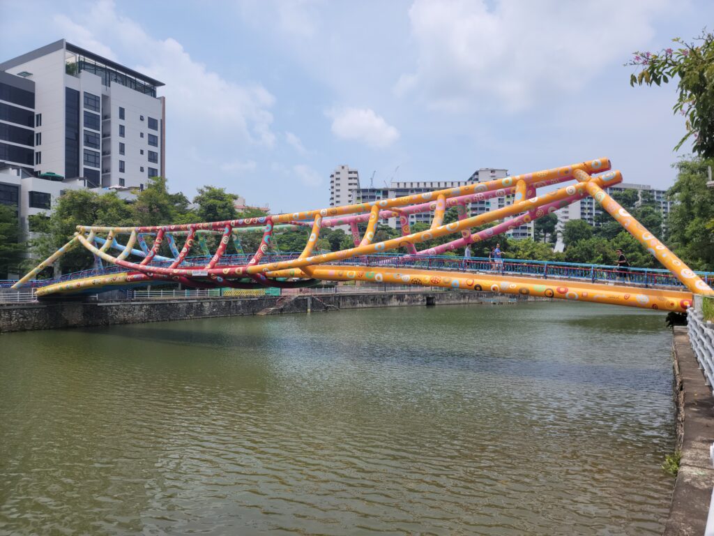
Also known as the Art Bridge, the Alkaff Bridge was completed in 1999. The 55 meter long and 35 meter tall bridge is shaped to look like a tongkang, a boat used on the river in Singapore’s early days. It is named after the Alkaff family, an Arabian family who were among the city’s wealthiest residents in the early part of the 20thcentury.
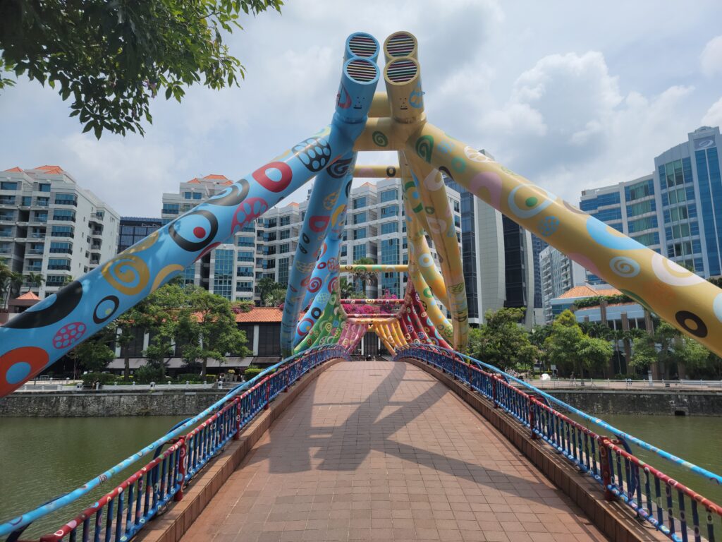
The bridge is part of a group of three bridges that were built to improve connectivity between the two banks of the river in this reach. The stunning paint job was the vision of Filipino painter Pacita Abad. Abad and a group of rope specialists painted the bridge using 55 different, vibrant colors.
First, the old paint was scraped off and the metal cleaned. It was then primed with 120 liters of white base coat. Next, two coats of industrial strength color paint was applied using six base colors and 930 liters of paint. The patterns were applied using 2,350 stencils. It is Singapore’s first ‘Bridge of Art.’
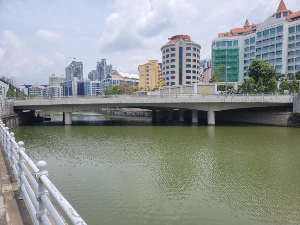
The Pulau Saigon Bridge
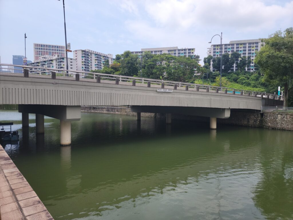
This bridge is really just another concrete girder bridge which carries Saiboo Street. Completed in 1997, it dates to the time when Robertson Quay was being redeveloped and beautified.
The interesting part has to do with its name. Pulau Saigon was an island in the Singapore river near the location of this bridge. The British modified the river to make access easier and to make the island viable for industrial use. It is probable that the bridge’s name means there was a bridge on this site that connected the island with the banks. By 1991, water levels had changed in the river and the island had merged with the bank near Magazine Road. Today, the bridge’s name is the only remnant.
The Robertson Bridge
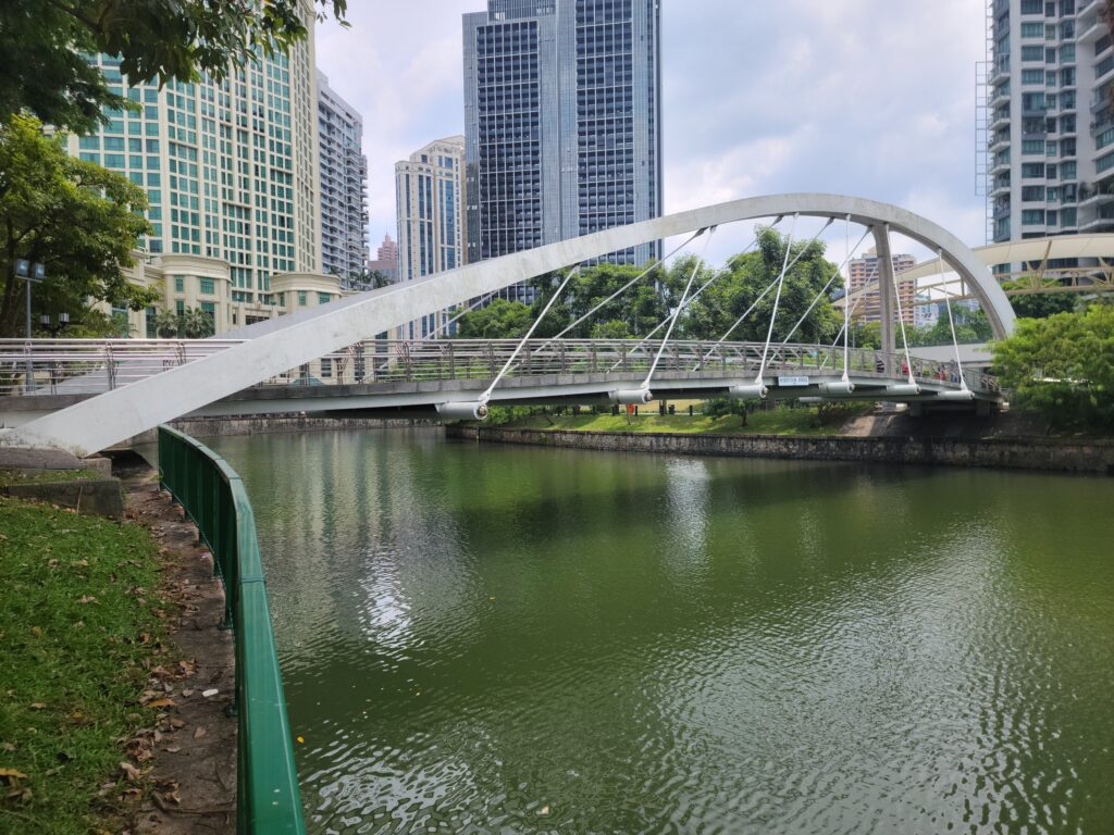
For such an interesting bridge, not much can be found out about it. It has an unsymmetrical arch rib, from which the pathway is suspended. Completed in 1998 and named after Dr. J. Murray Robertson, a prominent Municipal Councillor, it is the second of three bridges that were built to provide more pedestrian connectivity between the two banks of the river.
The bridge is located in Robertson Quay, the largest and most upstream of the three main historical quays on the river.
The Jiak Kim Bridge
Completed in 1999, the bridge is named for Tan Jiak Kim. Born a merchant, Tan eventually became elected to political office. He was a well-respected man in colonial Singapore, even being chosen to represent Singapore at the coronation of King Edward VII in 1911.
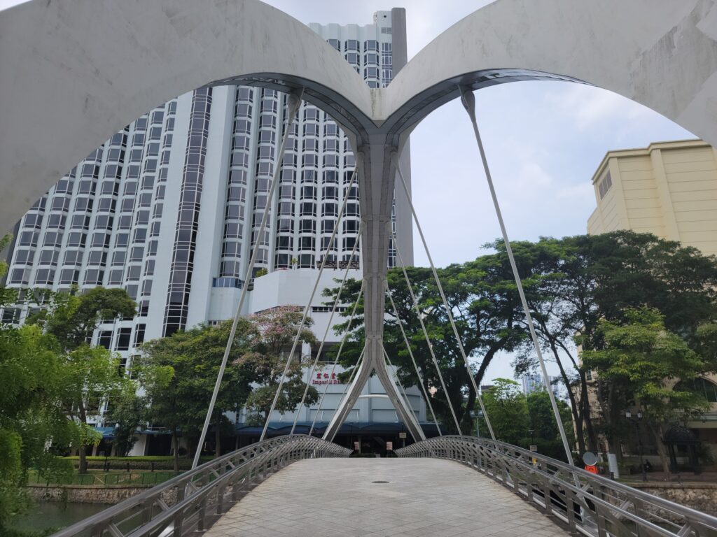
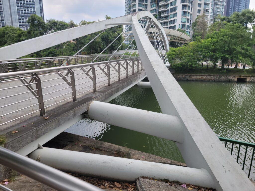
The bridge has a symmetrical tube arch rib from which the pathway is partially suspended. A tubular floorsystem that is arched horizontally and vertically supports the deck and is the main load path. The stays are angled to pull the horizontal arch into compression, thereby stiffening the bridge laterally, but are really just there for looks. An interesting bridge, to be sure!
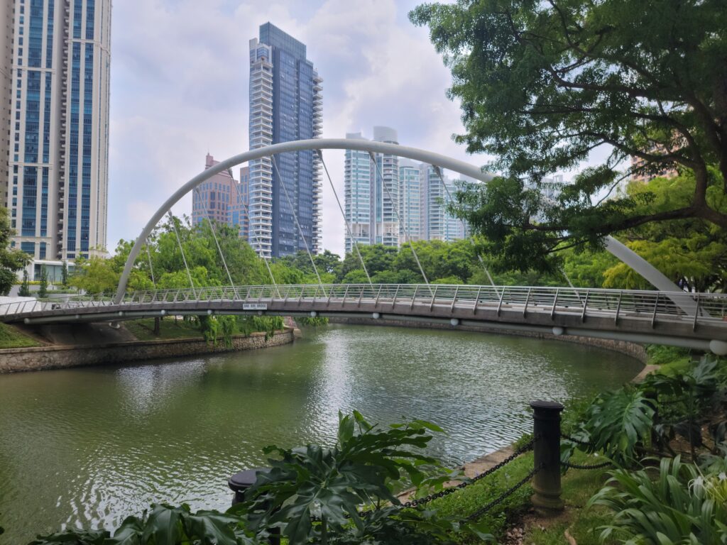
The Kim Seng Bridge
From here, we get a lot of monotony in the design of the bridges. Many are concrete flat or haunched slab bridges. River boats rarely go beyond Kim Seng Road as it marks the beginning of the river proper and the end of the Alexandra Canal.
This bridge is the third on the site. Built in 1951, it is post-tensioned concrete. It is named after Tan Kim Seng, a local businessman and philanthropist of the Peranakan ethnic group.
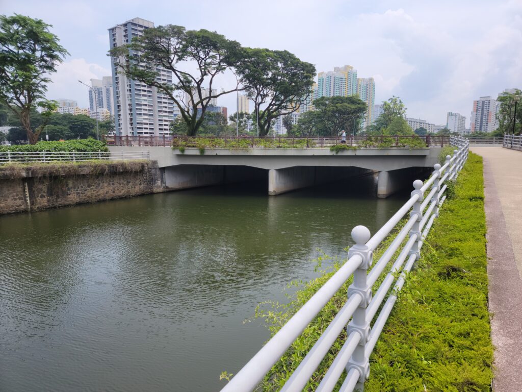
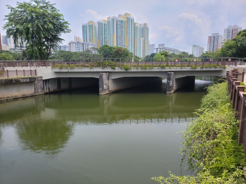
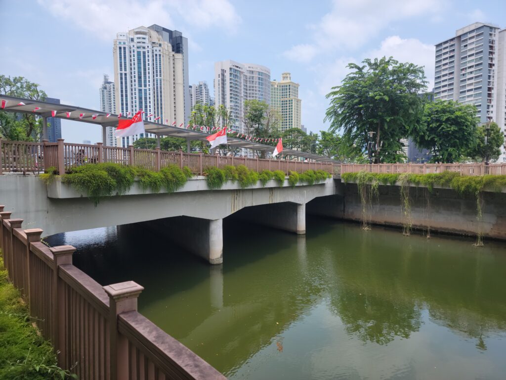
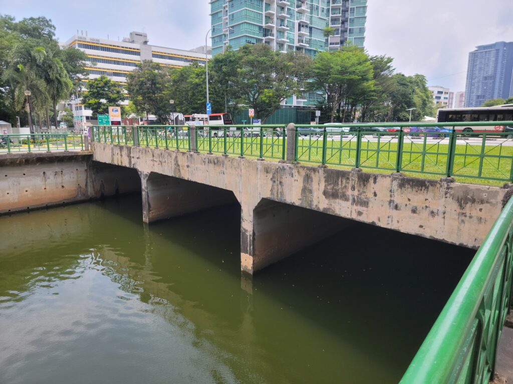
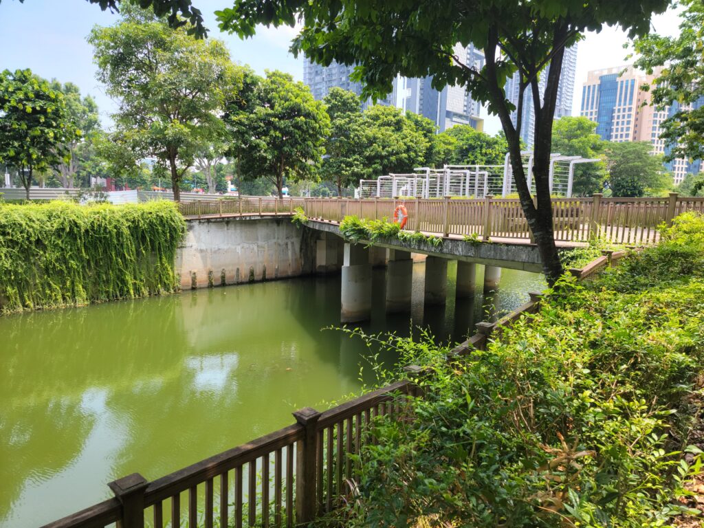
I am including a series of pictures, in order, of the remaining bridges for you to enjoy. Many of these bridges have little historical significance or technical interest. The canal area is interesting. Reconstruction of the 1.2 kilometer long Alexandra Canal began in 1997, taking over ten years to complete. During the work, improvements to its structural condition were made along with modifications to alleviate flooding. About 200 meters of the canal were decked over to create a park for people to use. There are large carp, catfish and turtles that live in the canal and hangout in the shadow of the bridges, waiting for food.
Author’s Note: There is crossing between the Prince Charles bridges. It doesn’t carry a road or name that I am aware of. It is included for completeness but is referred to as an unnamed Alexandra Canal crossing.
That’s all for this edition. Stay tuned for more photo blogs in the near future, including possible posts on the bridges of Malaysia and Thailand!
Views: 1832