Every year, the Division Bridge Engineer in each state is required to perform a certain number of field reviews of the bridges in his or her state. These field reviews are geographic samples, selected based on criteria set by the Federal Highway Administration, but are otherwise random. The sample size will depend on the population of bridges in the state, but usually no less than 19.
The criteria of the sample usually revolves around risk. Bridges in poor condition might rank higher, especially when coupled with the need for an underwater or non-redundant tension member inspection. Posted bridges, scour critical bridges, and bridges with other than normal inspection intervals might be identified for review.
A geographic based sample might also be appropriate to reduce travel and improve efficiency. This is especially true in Hawai’i, where public bridges can be found on five of the eight main islands. As one might expect, the majority of the bridges are on O’ahu. Kaua’i has less than 10% of the total bridges, while the remaining number are split evenly between Maui/Moloka’i and Hawai’i. Based on the proportional distribution of bridges, bridges are field reviewed on O’ahu every year, while Maui/Moloka’i and Hawai’i are field reviewed twice in a five year period and Kaua’i is field reviewed once in the same five year period.
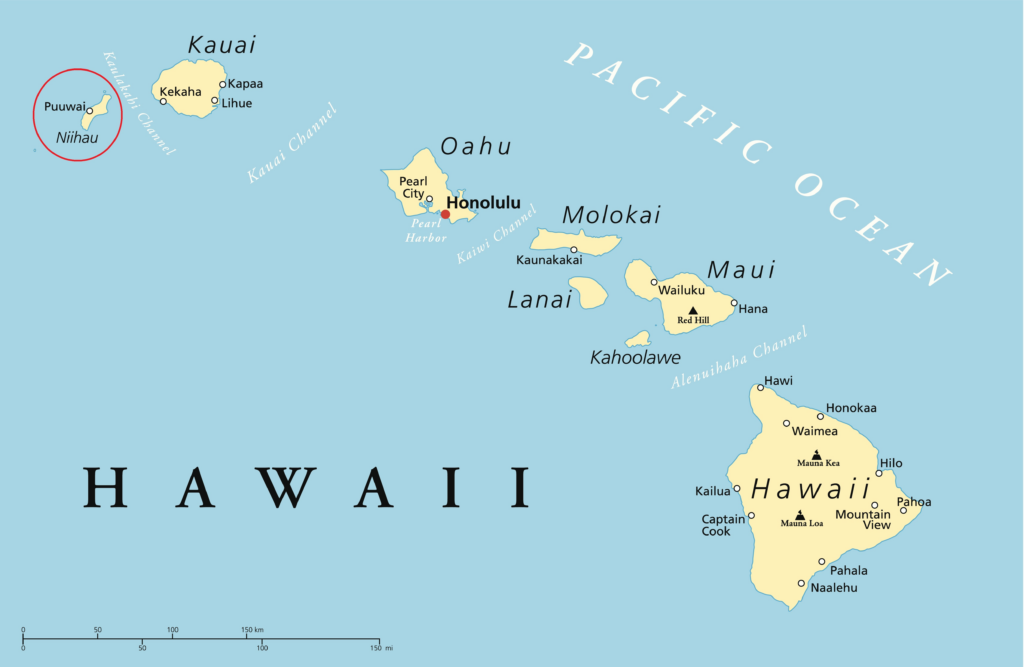
For 2025, O’ahu and Maui were sampled. For 2026, O’ahu and Hawai’i were sampled. Next year, we’ll return to Maui and/or Moloka’i. Following this scheme results in a true proportional sampling of the state’s bridges, especially if further proportional sampling is used between county owned and state owned bridges. Typically one week is allotted for O’ahu reviews and another for the other island.
During this year’s field reviews, I was fortunate enough to be able to review one of Hawaii’s most interesting bridges – the Lt. John R. Slattery Bridge in Honolulu. The bridge connects the man-made Sand Island in Honolulu Harbor with O’ahu. This particular bridge attracted my attention for being a bascule bridge…frequent readers of TheBridgeGuy will know I am mildly obsessed with movable bridges.
What is now Sand Island used to be called Anuenue Island, consisting of a low reef platform that jutted into Mamala Bay – the body of water ranging from Barbers Point to Diamond Head along the southern side of O’ahu. By the middle of the 19th century, Honolulu became a major stop for seafarers. To accommodate these vessels, Honolulu Harbor and Ke’ehi Lagoon were dredged and the spoils used to create Sand Island. By 1860, Sand Island was 5 acres and barely visible at high tide.
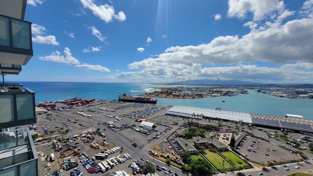
By the early 20th century, Quarantine Island, as it was then known, was being used to house the thousands of laborers and seafarers who were arriving in Honolulu. The island had grown to 38 acres and had 57 structures built on it to support its quarantine function. Congress approved the dredging and enlarging of the eastern entrance to the harbor in 1917. President Woodrow Wilson later set aside much of the island for military usage – what eventually became the Sand Island Military Reservation.
In the 1920’s, the US Army Corps of Engineers dredged some 80,000 cubic yards of material from the harbor and used the spoils to further raise the island above sea level. Further dredging and filling occurred in 1943. Today, the top of Sand Island is only 10 inches above sea level.
Along with Fort Armstrong, Sand Island’s military fortifications were used to guard the entrance to Honolulu Harbor. The guns at Sand Island are credited with downing two Japanese aircraft during the Attack on Pearl Harbor, and more military and civil development occurred on the island following the US entry into World War II. Four 7 inch guns were installed along the southern shoreline of the island, known as Battery Harbor. Smaller anti-aircraft guns were also installed on the island.
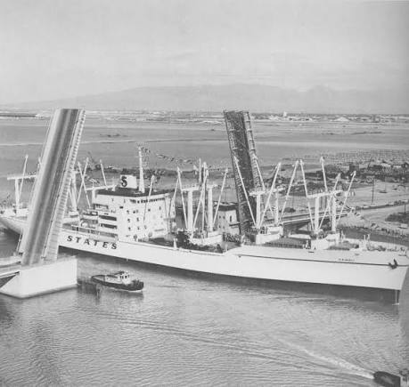
During the dredging work in 1943, seaplane channels were created to the west of the island. Seaplanes used these channels for take off and landing between 1946 and 1952. A causeway was constructed that connected Sand Island for the first time with O’ahu. To improve access to the harbor, the causeway was removed and a bascule bridge built in 1962.
The US Military Academy was established in 1802 and was run by the Corps of Engineers. At its founding, it was the only engineering school in the country. Its founding came at a pivotal time for the US – the country needed engineers badly.
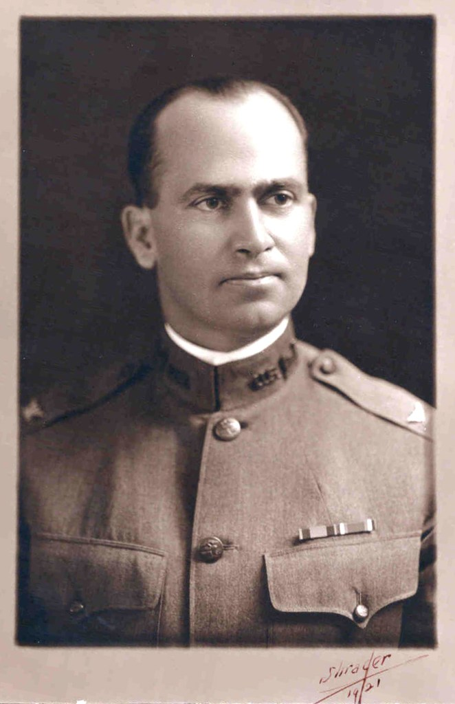
John Rudolph Slattery was appointed to West Point in 1900 by Charles P. Taft, the brother of President William Howard Taft. Upon graduation, Slattery was working on roads and bridges in the Philippines, and eventually came to Honolulu.
Slattery distinguished himself by supervising the construction of lighthouses on O’ahu, then preparing improvements to be made to Honolulu Harbor. Prior to these improvements, Senate committee members who we visiting the territory could not enter the harbor at night because their captain could not distinguish the navigation lights from the city lights.
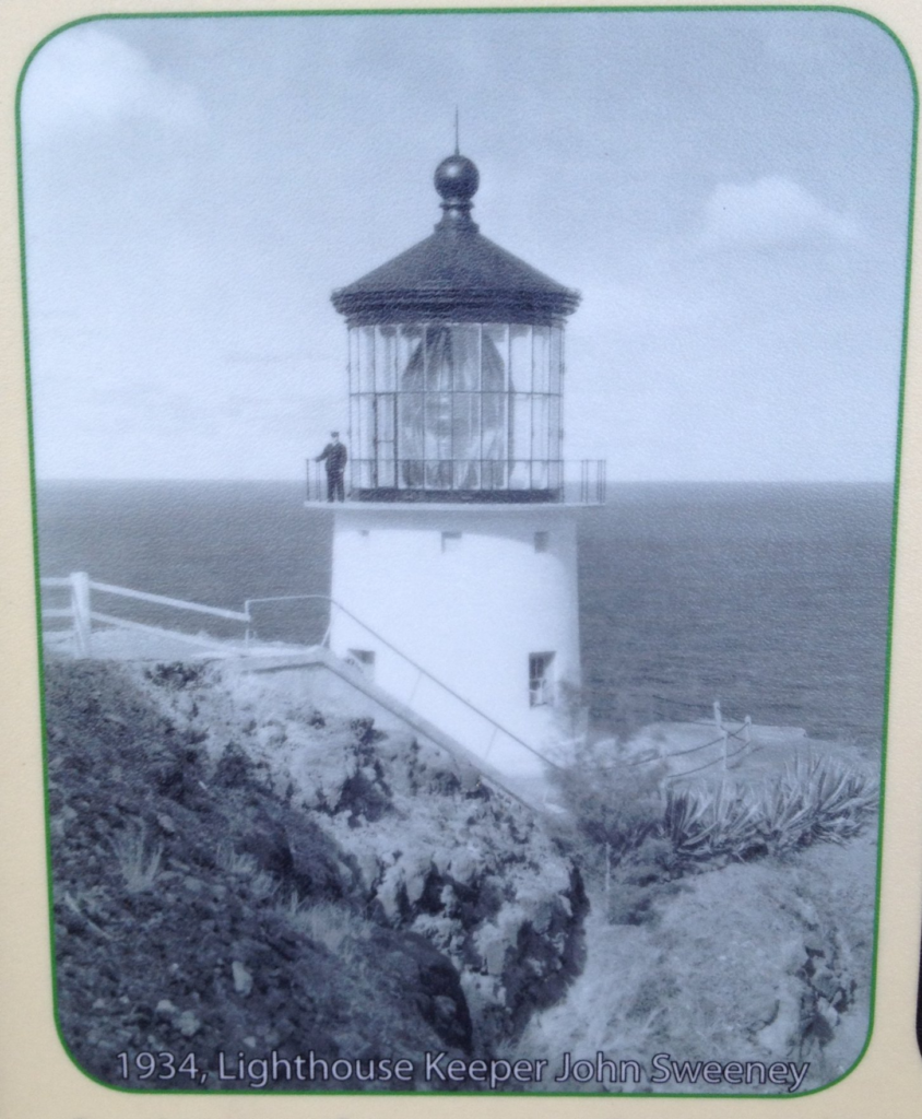
On April 15, 1905, Slattery established the Honolulu Engineer District Office in the Alexander Young Building on Bishop Street. His work included land acquisition and more lighthouse construction, most of which still exist. Makapu’u lighthouse was Slattery’s design, located on the southeastern point of O’ahu, and was first illuminated on October 1, 1909.
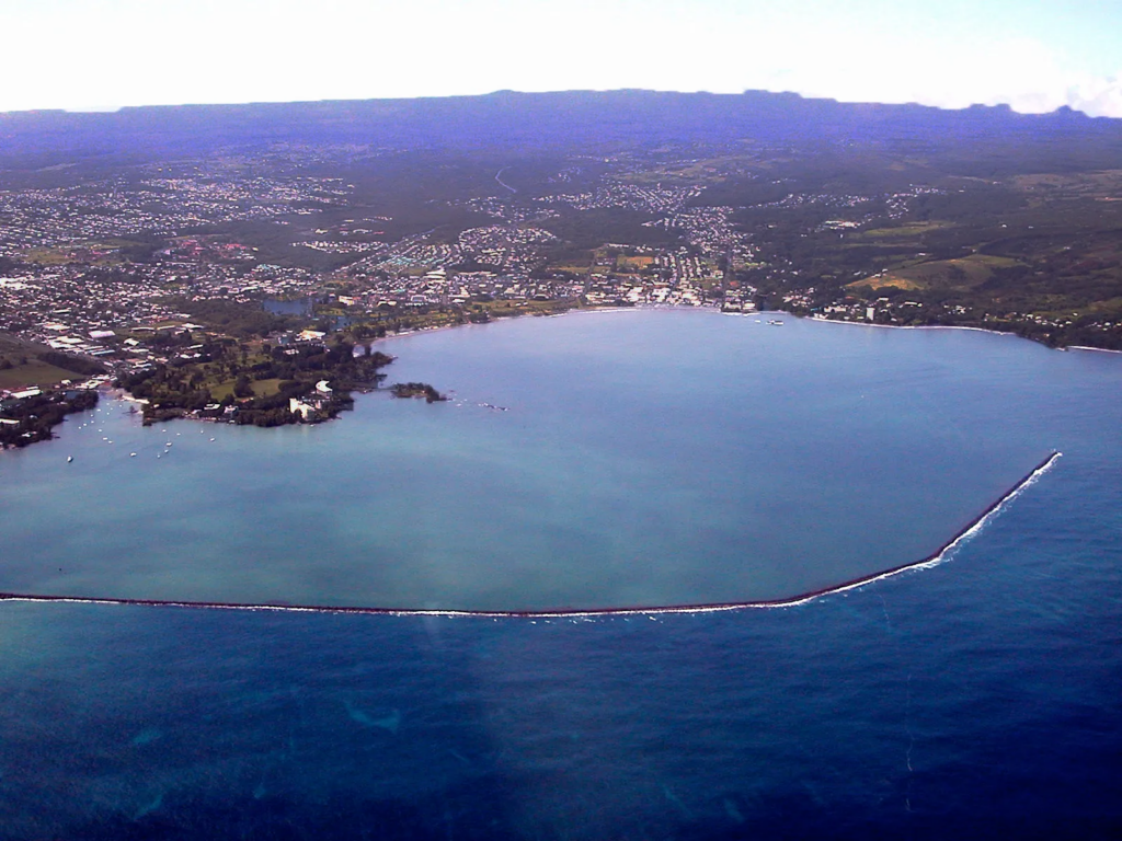
But he didn’t just work on lighthouses. Slattery also worked to construct Fort Shafter, whose principal purpose was to protect the naval base at Pearl Harbor. He also worked to construct the breakwater in Hilo Harbor on the big island in 1908, and extended the breakwater at Kahului Harbor on Maui in 1910.
John Slattery retired from the Army as a Colonel in 1925. When the Hawaii District opened the bascule bridge connecting Sand Island, they named it in honor of Slattery, who died in 1932 aged 55.
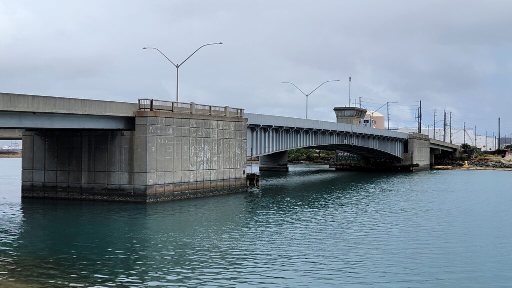
Overall, the bridge is 600 feet long with the bascule portion measuring 400 feet. It spans the Kalihi Channel, the western entrance to Honolulu Harbor. The bridge is a double leaf Chicago style bascule span with fixed trunnions. The drive is mechanical/electrical. Instead of a truss, the bridge consists of two haunched steel plate girders.
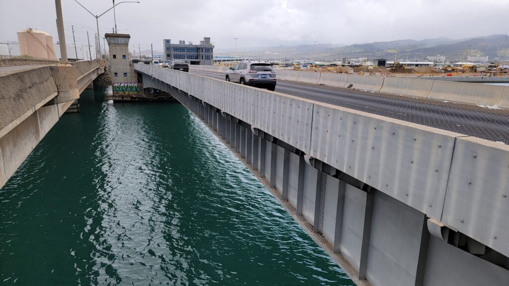
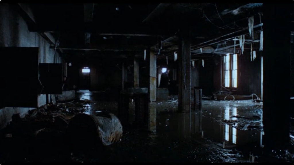
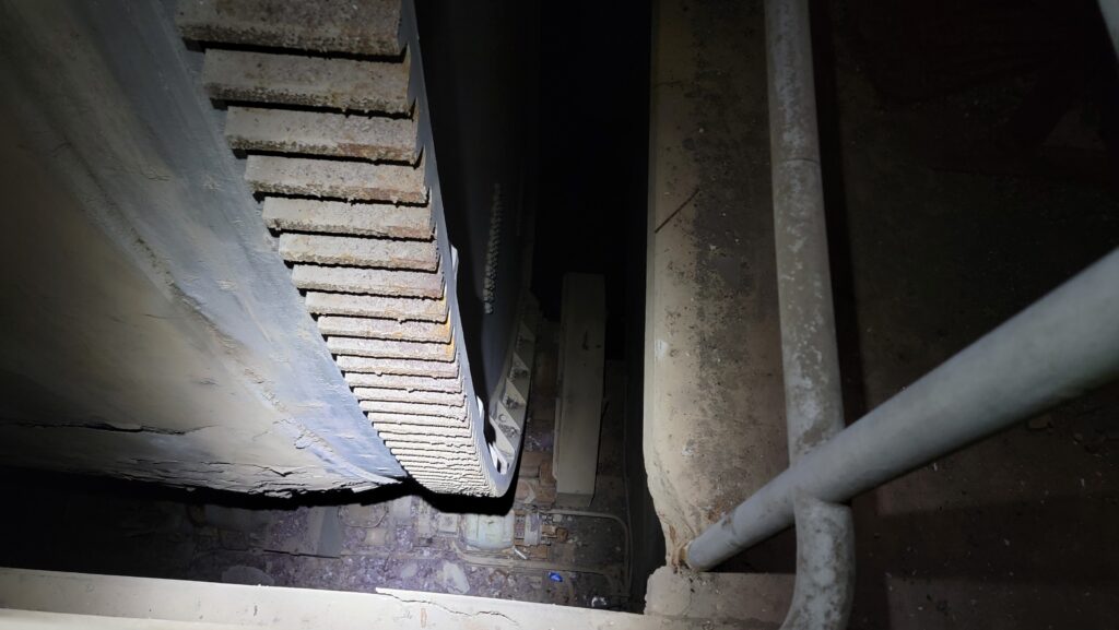
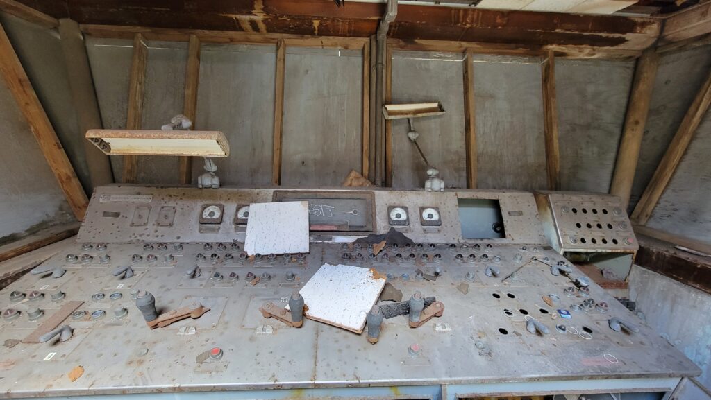
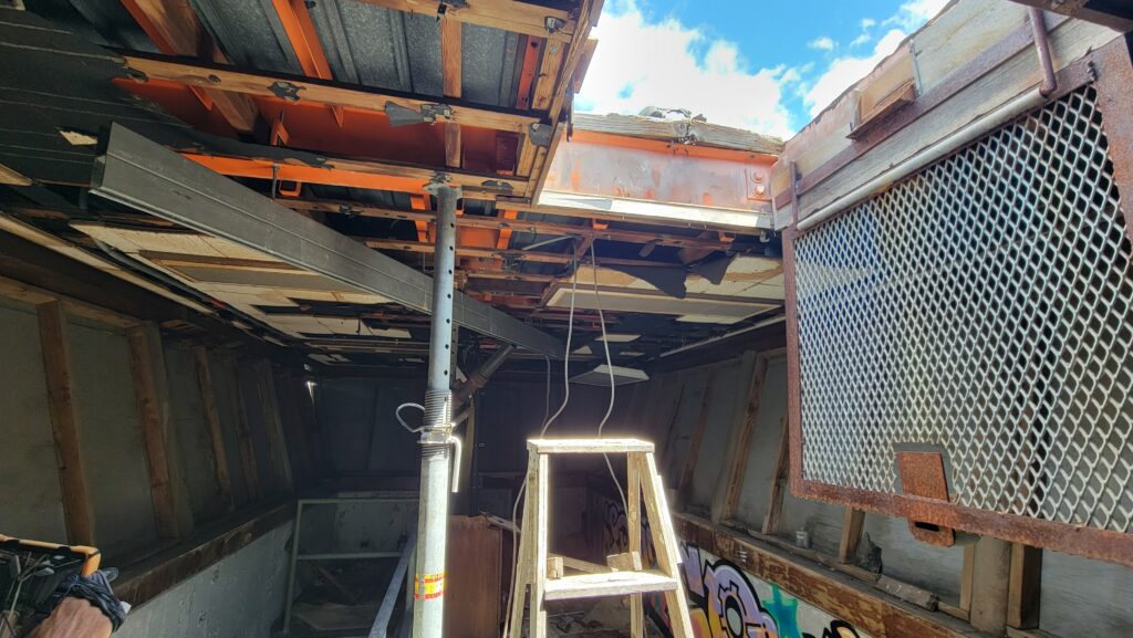
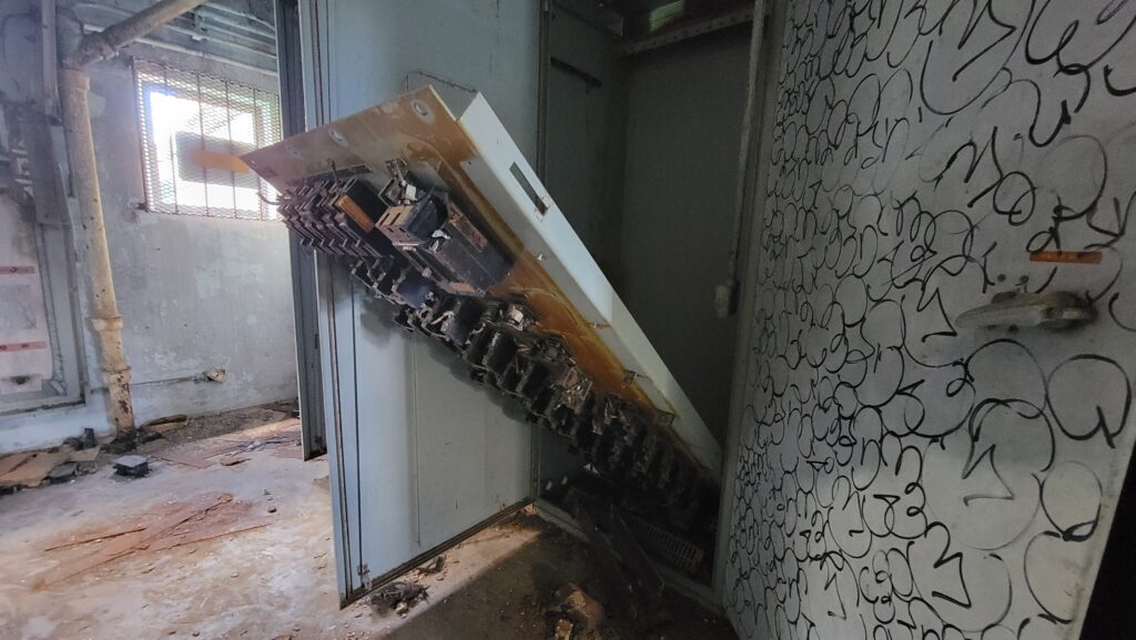
The bridge was permanently fixed in the closed position sometime in the 1970s or 1980s when Sand Island Road was widened and a fixed span bridge was built next to it, rendering the bascule obsolete. Much of the control room and power cabinets have been trashed, but the electric motors, buffer cylinders and locking hardware are still in place.
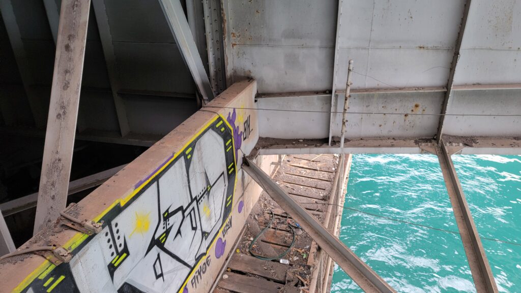
The bridge features shoe locks, something I’ve never seen before. The only sign that I could see that renders the bridge permanently closed was the addition of a concrete wall extension to the bascule pier which encased the lower bracing near the live load shoes. The centerlocks look to be much the same as it would have been when the bridge was operable.
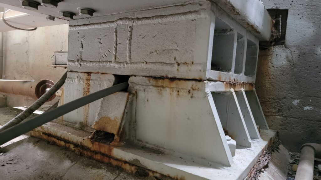
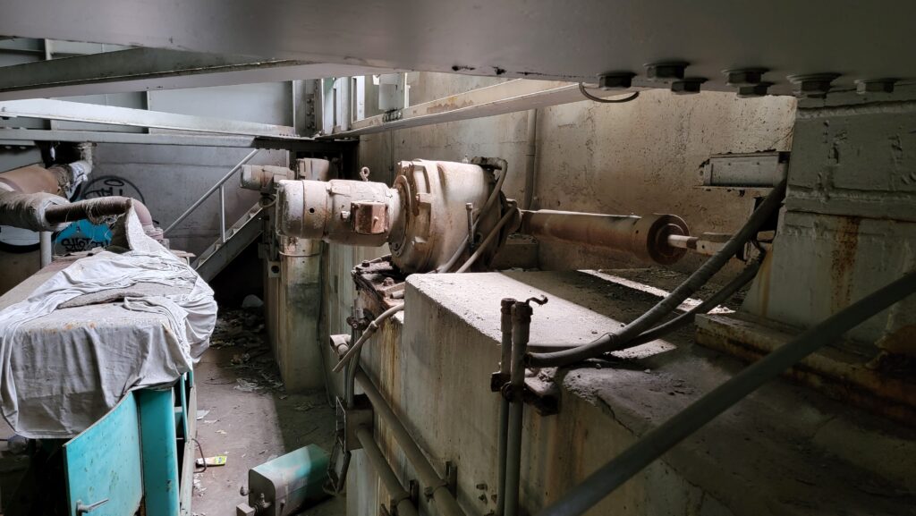
The counterweight was filled with debris but you can still see the adjustment blocks in the pit. Buffer cylinders at the rear of the counterweight would have prevented the bridge from slamming closed prior to the use of Programmable Logic Controllers (PLC).
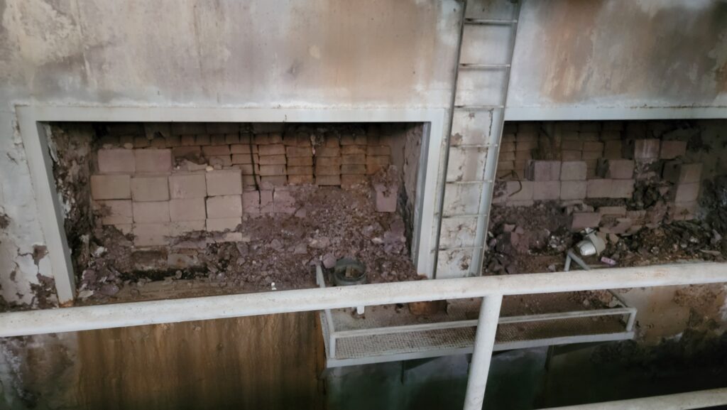
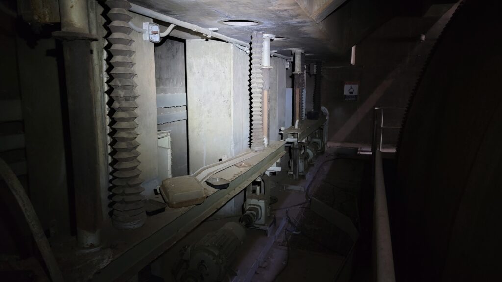
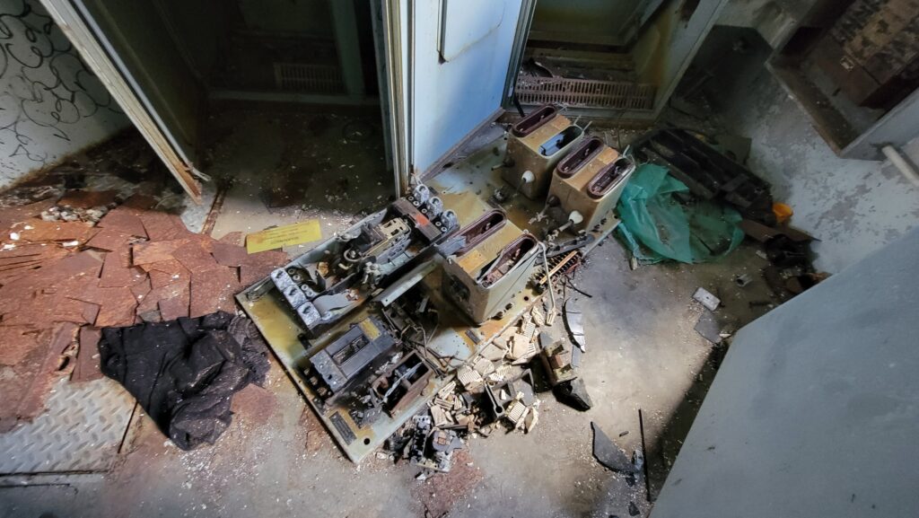
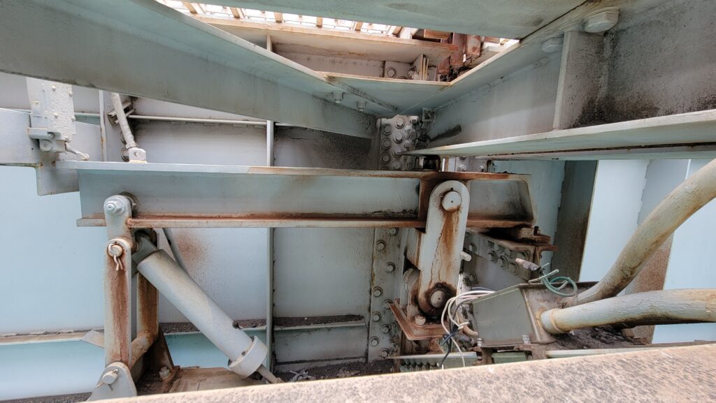
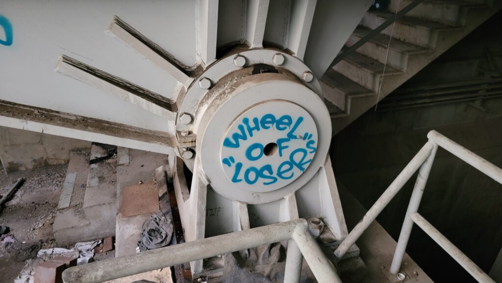
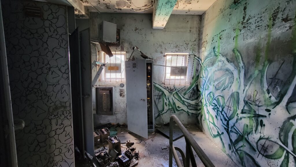
Overall, the bridge interior feels like the ending scene of the French Connection. Dark, dirty, damp, other-worldly.